
Key takeaways
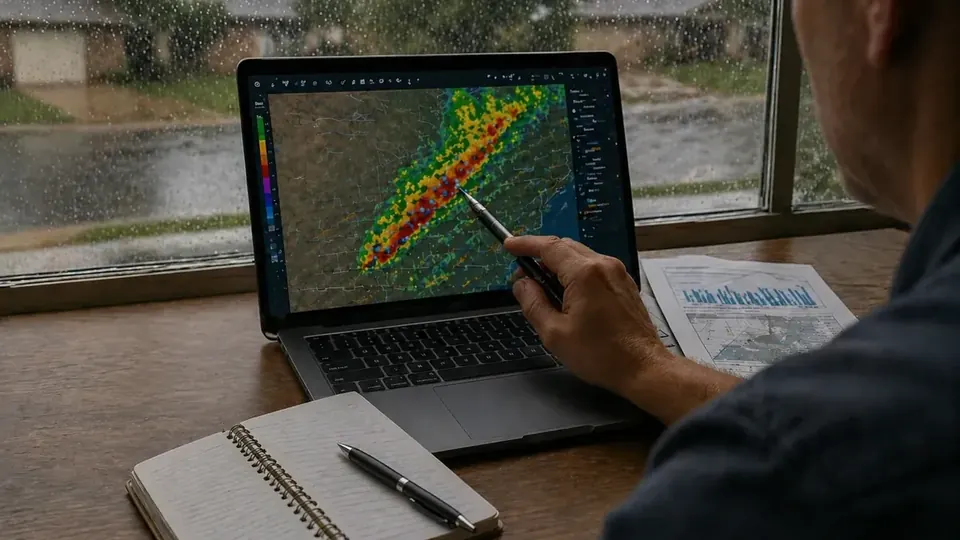
- Port Arthur has been hit by wind (Rita, Humberto, Laura, Delta), storm surge (Ike), extreme rain (Harvey, Imelda), and a hard freeze (February 2021) within about 15 years.
- Each type of storm creates a different kind of insurance claim: TWIA wind, NFIP or private flood, or homeowners water damage.
- The levee and seawall system reduces surge risk but does not stop rainfall flooding, as Harvey and Imelda showed.
- Many local claim problems come from coverage gaps (no flood policy), percentage deductibles, and repairs that did not meet TDI windstorm requirements.
- NOAA and NWS records help document date and cause of loss for any storm claim.
Port Arthur hurricane history reads like a catalog of every way a Gulf storm can damage a building. Some storms came with wind that peeled roofs and dropped trees on houses. One pushed the highest surge ever recorded at Sabine Pass. Two others barely registered as wind events but flooded tens of thousands of homes with rain. Then came a freeze that burst pipes in a city built for heat.
For homeowners and business owners in Port Arthur, Groves, Nederland, Port Neches, Sabine Pass and the rest of Jefferson County, those storms are more than history. They show what your insurance needs to handle and where claims tend to break down. This article walks through the major events since 2005, using National Hurricane Center, National Weather Service and NOAA Storm Events records, and pulls out the insurance lesson from each. For a full list of local records, see our storm history page.
Port Arthur hurricane history at a glance
| Storm | Date | Main local impact | Insurance lesson |
|---|---|---|---|
| Hurricane Rita | Sept. 24, 2005 | Widespread wind damage; ~10 ft surge near Sabine Pass | Wind policies and roof documentation drive the claim |
| Hurricane Humberto | Sept. 13, 2007 | Compact hurricane; 60–80 mph winds in Port Arthur, Sabine Pass, Nederland | Smaller storms still cause roof claims; deductibles matter |
| Hurricane Ike | Sept. 13, 2008 | 14–15 ft surge at Sabine Pass; wind damage countywide | Wind and flood on the same house means two claims |
| Hurricane Harvey | Aug. 24–31, 2017 | Extreme rainfall; 64,000+ homes flooded in Jefferson County | Rain flooding is excluded from homeowners and TWIA policies |
| Tropical Storm Imelda | Sept. 17–19, 2019 | 40+ inches of rain in parts of Jefferson County (preliminary) | Flood risk exists outside mapped high-risk zones |
| Hurricanes Laura and Delta | Aug. 27 and Oct. 9, 2020 | Trees and lines down; hurricane-force gusts at Sabine Pass | Back-to-back storms complicate dates of loss |
| Winter Storm | February 2021 | Prolonged freeze; burst pipes | Not every disaster is a hurricane; water damage rules apply |
Hurricane Rita (2005): the wind storm that defined a generation of claims
Hurricane Rita made landfall on September 24, 2005 near the Texas/Louisiana border as a Category 3, according to the National Hurricane Center. NOAA's Storm Events Database describes Rita moving northwest across Southeast Texas that morning with sustained winds of 120 mph. Storm surge near 10 feet hit the Sabine Pass area, where over 90 percent of homes were severely damaged or destroyed. Winds over 100 mph blew across the entire region, snapping and uprooting trees.
Insurance lesson: Rita was primarily a wind event for most of Port Arthur. That put roofs, siding, windows, and trees at the center of claims, and it made the wind policy, often TWIA, the key coverage. Owners who had clear photos of the roof before the storm, and who documented every opening after, were in a stronger position when insurers questioned whether damage was old wear and tear. It also showed how quickly contractors and materials become scarce after a regional catastrophe, which affects pricing in estimates. If you are working a wind damage claim today, the same principle applies: document the opening and tie it to the date.
Hurricane Humberto (2007): small storm, real damage
Humberto developed quickly and came ashore around 1 a.m. on September 13, 2007 near High Island. NOAA records place landfall in rural southwestern Jefferson County, in the McFaddin National Wildlife Refuge, with maximum winds estimated at 90 mph. Hurricane-force winds were confined to a band about 15 miles wide, but Port Arthur, Sabine Pass and Nederland saw winds of 60 to 80 mph. Damage was primarily downed trees, roof damage, and downed power lines.
Insurance lesson: A compact storm can still cause a roof claim. With small storms, insurers sometimes question whether high winds actually reached a specific street. Weather data and storm reports for the date of loss help. Humberto is also a reminder that a percentage hurricane deductible can swallow a moderate roof claim, so knowing your deductible in dollars matters. Our guide to Texas hurricane deductibles explains the math.
Hurricane Ike (2008): the surge storm
Ike made landfall at Galveston on September 13, 2008 as a Category 2, well southwest of Port Arthur. Its size pushed water far up the coast. According to NOAA's Storm Events Database, a 14 to 15 foot storm surge at Sabine Pass produced the highest water level ever recorded there; any home that was not elevated was destroyed. The surge did not top the Port Arthur seawall, but wave action on top of the surge did, and at least 100 homes flooded in Port Arthur. Water backed up Hillebrandt and Taylor Bayous, flooding Hillebrandt, Hamshire and Fannett, and pushed up the Neches River in Beaumont. At least 4,000 homes flooded countywide. A separate NOAA entry describes Category 1 wind damage across Jefferson County.
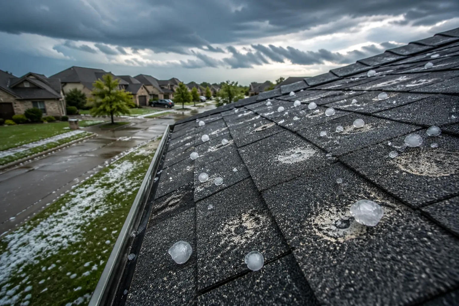
Insurance lesson: Ike is the textbook mixed-cause storm. A single property could have a tree through the roof from wind and several feet of surge inside. Surge is flood, so it is excluded from homeowners and TWIA policies and covered only by flood insurance. Each insurer sends its own adjuster and applies its own deductible, and each may try to attribute disputed damage to the other cause. Our article on wind vs. flood damage in Port Arthur covers how to document that split.
Hurricane Harvey (2017): the rain storm
For Port Arthur, Harvey was not about wind. NOAA records show tropical storm conditions along the Jefferson County coast and a modest surge at Texas Point. The disaster was rain. According to the National Weather Service in Lake Charles, heavy rain fell over Jefferson County from August 24 to 31, 2017, with widespread storm totals over 40 inches. The highest storm total from Harvey was 60.58 inches near Nederland, a U.S. tropical cyclone rainfall record at the time. More than 64,000 homes flooded in Jefferson County, with Port Arthur, Groves and northeast Beaumont among the hardest hit, and Pine Island Bayou and the lower Neches River reached record crests.
Insurance lesson: Rising water from rain is flood. Standard homeowners and TWIA policies generally exclude it, so owners without NFIP or private flood coverage often had no policy that responded to the main damage. Harvey also showed that the levee system does not protect against rainfall flooding inside the city. For those who did have flood insurance, the details mattered: separate building and contents limits, strict proof of loss requirements, and careful documentation of contents. If your property is anywhere in Jefferson County, flood coverage is worth discussing with your agent, keeping in mind that NFIP policies generally have a 30-day waiting period.
Tropical Storm Imelda (2019): it can happen again
Two years after Harvey, Tropical Storm Imelda stalled over Southeast Texas from September 17 to 19, 2019. Preliminary totals exceeded 40 inches in parts of Jefferson County, and flash flooding spread across the region, including the Port Arthur and Beaumont areas. The NWS Houston office ranks Imelda among the wettest tropical cyclones in Texas.
Insurance lesson: Owners who flooded in Harvey and did not buy flood coverage afterward were exposed again. Imelda also flooded properties that did not flood in Harvey, a reminder that flood maps reflect probabilities, not guarantees. A "weak" tropical storm with little wind can still produce a total loss from water. Check whether you have flood coverage before the season, not when a storm is named.
Hurricanes Laura and Delta (2020): back-to-back storms
Laura made landfall on August 27, 2020 near Cameron, Louisiana, as a Category 4, roughly 30 miles east of the Texas border. NOAA records for Jefferson County describe a mandatory evacuation, storm surge flooding at Sabine Pass, and water backing up the Neches River, Hillebrandt Bayou and Taylor Bayou. Numerous trees and power lines came down across Port Arthur, Port Neches, Beaumont, Nederland and Groves, damaging homes and businesses, and over 60 percent of the county lost power at the peak. Tragically, NOAA also records indirect deaths from carbon monoxide poisoning, including three in Port Arthur from a generator running in an enclosed area.
Six weeks later, Hurricane Delta came ashore on October 9, 2020 near Creole, Louisiana. NOAA records sustained winds of 70 knots with a gust to 87 knots at Sabine Pass, and a gust to 78 knots at Jack Brooks Regional Airport, with 5 to 6.5 inches of rain across the county.
Insurance lesson: When two storms hit the same area weeks apart, insurers may ask which storm caused which damage, and whether damage from the first storm was mitigated before the second. Separate dates of loss can mean separate claims and separate deductibles. Owners who photographed and tarped after Laura, and kept receipts, had a cleaner record when Delta arrived. And never run a generator inside a house or garage.

The February 2021 freeze: not every disaster is a hurricane
In February 2021, a prolonged freeze gripped Texas and pipes burst statewide, including across the Golden Triangle. Many Southeast Texas homes have plumbing in exterior walls, attics, or crawlspaces under pier-and-beam floors, which leaves pipes exposed in a hard freeze.
Insurance lesson: Freeze losses are usually handled as sudden water damage under the homeowners or commercial policy, not TWIA or flood. Policies may include conditions about maintaining heat, and humidity here means mold can follow quickly if drying is delayed. See our water damage claims page for how those claims are typically evaluated.
Recent reminders: Beryl and beyond
The pattern continues. When Hurricane Beryl moved through on July 8, 2024, NOAA recorded a maximum sustained wind of 55 mph and a peak gust of 70 mph at Sabine Pass, with storm surge covering much of Highway 87 between Sabine Pass and Sea Rim State Park. Severe thunderstorms and tornadoes add to the list; NOAA records an EF-2 tornado in Port Arthur on April 10, 2024. Track current systems on our hurricane tracker and browse recent local events on the weather events page.
Five lessons that apply to every Port Arthur storm
- Know which policy covers which peril. In Jefferson County, wind is often TWIA, flood is NFIP or private, and everything else is homeowners. One storm can mean two or three claims.
- Know your deductibles in dollars. Percentage wind and hurricane deductibles can be thousands of dollars on a typical home.
- Repair to TDI windstorm standards. Re-roofs and roof repairs in the catastrophe area must be inspected to TDI specifications to stay eligible for TWIA coverage, and city permits generally apply. See our local building codes page.
- Document before and after. Pre-storm photos of the roof and interior, and detailed post-storm photos, often decide disputes about old vs. new damage.
- Use the weather record. NOAA and NWS data can confirm wind, surge, and rainfall on your date of loss.
How a Port Arthur Public Adjuster uses storm history
Storm records are part of claim documentation. When an insurer questions whether wind reached a property, or whether damage came from this storm or an older one, NOAA and NWS data for the date and location can help answer it. A Port Arthur Public Adjuster can pull those records, inspect and document the property, prepare a detailed estimate, and present the claim to each insurer involved. Fees are disclosed in a written contract before any work begins; Texas law caps public adjuster compensation at 10% of the insurance settlement. No outcome is guaranteed, and coverage depends on your policy and the facts.
If a storm has damaged your property, start with our claim documentation checklist, or ask for a Port Arthur Public Adjuster review of your hurricane damage claim.
Frequently Asked Questions
What was the worst hurricane to hit Port Arthur?
It depends on how you measure it. Hurricane Rita in 2005 brought the most widespread wind damage, with NOAA records describing winds over 100 mph across the region and severe damage at Sabine Pass. Hurricane Ike in 2008 brought the highest storm surge ever recorded at Sabine Pass. Hurricane Harvey in 2017 caused the most flooding, with more than 64,000 homes flooded in Jefferson County according to NWS Lake Charles.
Did Harvey hit Port Arthur directly?
Harvey's main impact on Port Arthur was rain, not a direct landfall. NWS Lake Charles reports heavy rain over Jefferson County from August 24 to 31, 2017, widespread totals over 40 inches, and the highest storm total of 60.58 inches near Nederland. Port Arthur, Groves and northeast Beaumont were among the hardest hit areas.
Does the Port Arthur seawall protect against all flooding?
No. The hurricane flood protection system reduces storm surge risk, but it does not stop rainfall flooding. During Ike, NOAA records note that the surge did not top the seawall but wave action on top of the surge did, and at least 100 homes flooded in Port Arthur. Harvey and Imelda flooded large areas through rainfall alone.
How can I find out which storms hit my address?
NOAA's Storm Events Database lists reported events by county and date. Our storm lookup and storm history pages summarize Jefferson County records, which can help you document the date and type of damage for a claim.
When is hurricane season in Port Arthur?
The Atlantic hurricane season runs June 1 through November 30, according to the National Hurricane Center, with peak activity from mid-August through September. Several of Port Arthur's most damaging storms, including Rita, Humberto, Ike and Imelda, struck in September.
Can I still file a claim for an older storm?
Possibly, but deadlines apply. TWIA generally requires claims to be reported within one year of the date of damage, and many policies have their own notice requirements and contractual deadlines to sue. Check your policy and talk to a Texas attorney about deadlines.
Sources and further reading
- NOAA NCEI Storm Events: Hurricane Rita, Jefferson County (Sept. 2005)
- NOAA NCEI Storm Events: Hurricane Ike storm surge, Jefferson County (Sept. 2008)
- National Weather Service Lake Charles: Hurricane Harvey (2017)
- NOAA NCEI Storm Events: Hurricane Laura, Jefferson County (Aug. 2020)
- NOAA NCEI Storm Events: Hurricane Delta, Jefferson County (Oct. 2020)
This article is general information about property insurance claims in Texas, not legal advice, and not a promise of any coverage or outcome. Your policy language and the facts of your loss control your claim.